
The Reports
Calling in the experts

The new house project is currently nearing the pinnacle of the planning stage. We’re on the cusp of having the DA ready for lodgement. Yay!
This process, I’ve discovered, is a finely choreographed feat of project management: the house plans need to be advanced enough for the experts to make their reports. But some of those reports are needed to finalise the house plans. Plus some have a limited life: receive a report too early in the process and it might have to be repeated.
Gah!
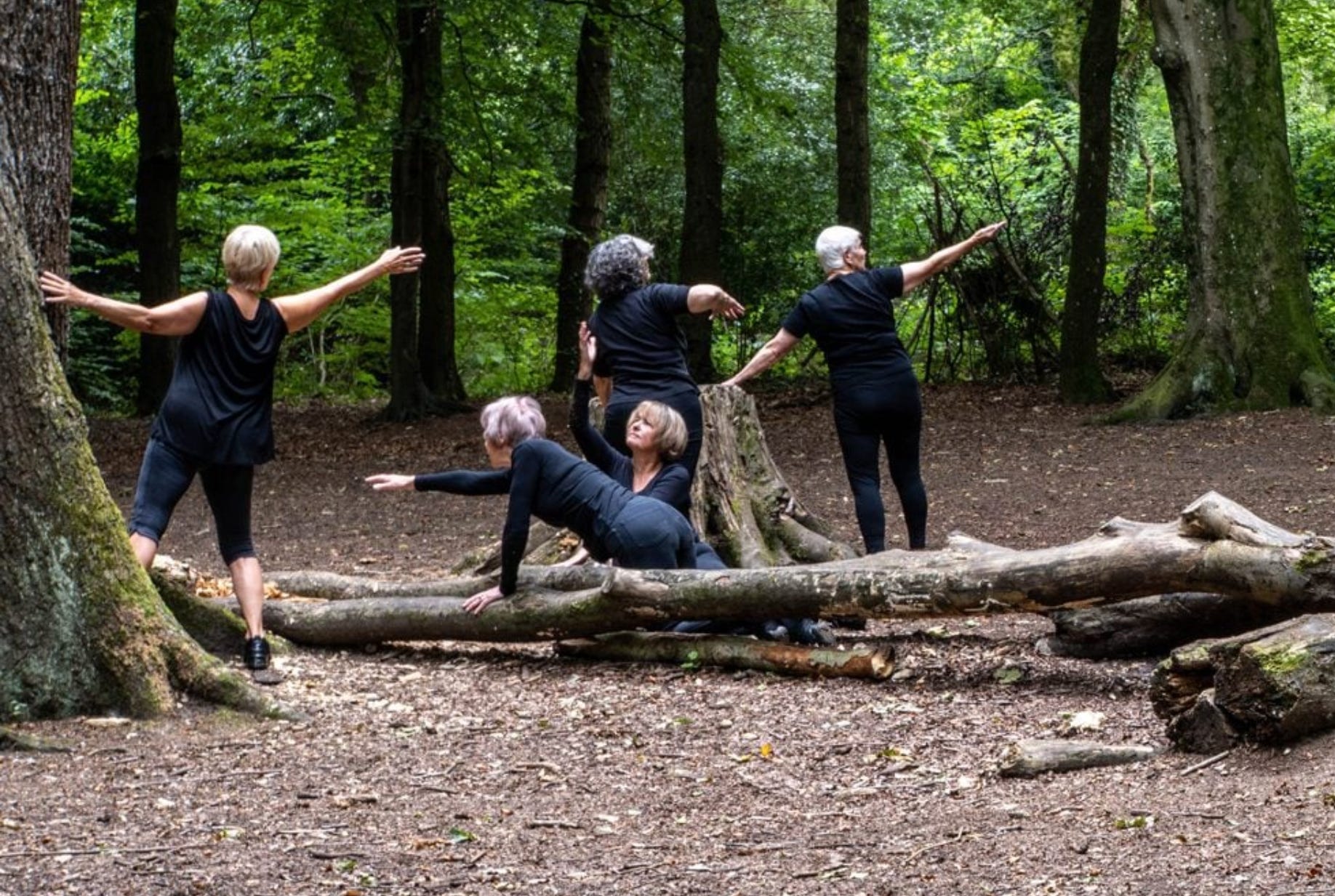
I think of it as a contemporary dance performance of jaw-dropping complexity, which is nevertheless a thing of beauty.
Obviously I’ll leave the interpretation of the report to the experts—the architects. Still, I find a certain fascination in all the myriad of things that need to be checked.
The Reports
To the uninitiated (i.e. me) it might be surprising to learn the number of ‘experts’ who have to be called in to inspect the block for its suitability. This is not one of those 1950s carefree projects where Dad got hold of a load of fibre-cement sheeting and threw up the beach shack over a weekend, helped by a couple of mates with utes.
These are the reports we’ve commissioned so far—I think this all of them, though I could have missed some:
• Survey: to ascertain the boundaries and levels of the block, locate and check the dimensions of trees.
• Landslip Risk Assessment/Geotech Report: to conduct geotechnical work, including a subsurface profile investigation and slope stability assessment report.
• Bushfire Report: Check the BAL, and provide recommendations .
• Biodiversity Development Assessment Report (BDAR), including an Arborist Report, and a Flora & Fauna Report.
• Town Planner/Registered Environmental Assessment Practitioner: to provide a Statement of Environmental Effects, an important document which outlines the general site conditions, the proposal, and Council compliance.
• Civil Engineer: storm water, drainage, construction constraints. Advice about the driveway and kerb.
• BASIX Certificate: will determine the star rating for taps, showers, toilets; specify lighting types, window types, and ventilation requirements, and the size of the rainwater tank/s.
• Passive House Report: will our design meet the standards for certification as a Passivhaus?
• Landscape Architect: to provide a landscape design which complies with Council requirements, to accompany the DA
• Tree Protection Plan from an Arborist.
• Heritage Consultant because the site backs on a ‘heritage site’ (the protected bush behind).
A few of these reports are in. Some are imminent. Others are awaited. It’s one of those ‘herding cats’ projects.
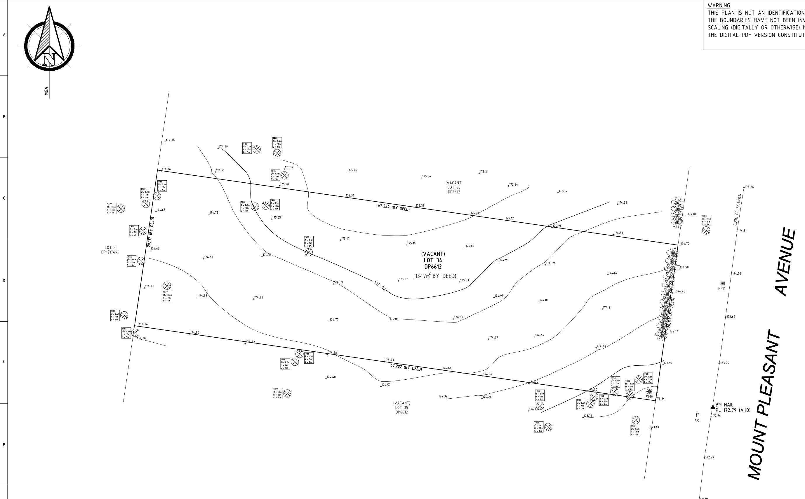
The Survey
The land surveyor prepares a Detail Survey (also known as a Contour Survey or Topographic Survey) of the property showing the features and existing structures if any (including any trees, creeks etc.) on the land—and possibly the neighbouring land as well. The surveyor checks the boundaries of the property. Council requires a Detail Survey Plan as part of a DA.
Result of our survey? What looked like a more or less flat block to my untrained eye does in fact have a sideways slope on it -- The ground surface slopes towards the east at an average gradient of 5 to 6 degrees.
Probably need some cut-and-fill, and that main courtyard could end up attractively sunken.
Land Slip Assessment
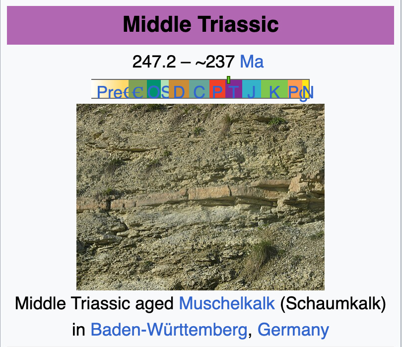
The report of the Geotechnical Engineer says: ‘Reference to the Geological Survey of NSW seamless geology, as extracted from MinView, indicates that the site is situated in an area characterised by black to light grey shale and laminated strata from the Middle Triassic period.’
Who would’ve thought deep geology would come into things? In the spirit of learning something new: The Middle Triassic spans the time between 247.2 Ma and 237 Ma (million years ago). During the Middle Triassic, there were no flowering plants, but instead there were ferns and mosses. Small dinosauriforms began to appear.
[pic from Wiki ]
Given that the site is located within a slightly hilly formation, a landslide risk assessment was included in the geotechnical investigation. ‘A landslide hazard assessment of the existing slopes was conducted in accordance with the Australian Geomechanics Society Landslide Risk Management Concepts and Guidelines – 2007 (AGS Guidelines).’
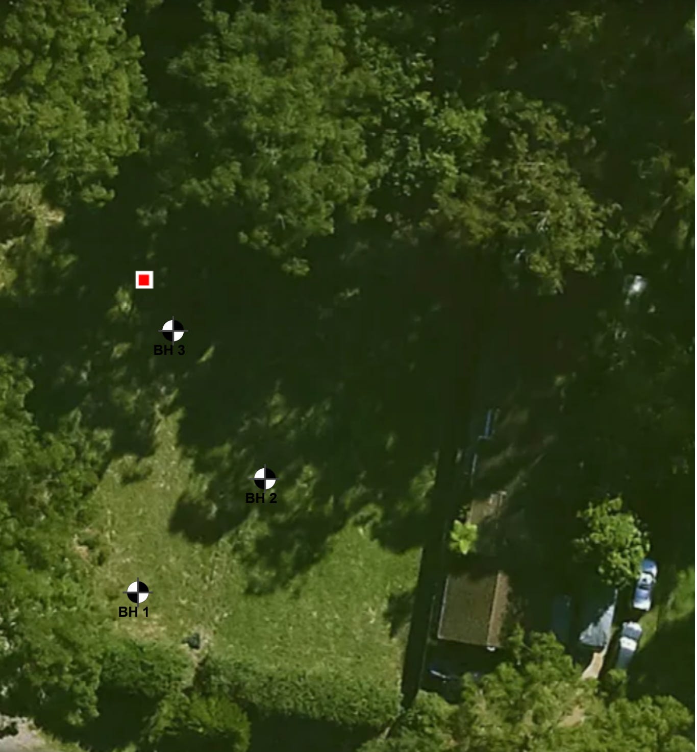
Where they dug the bore holes
The engineer did some work: ‘Fieldwork … involved the drilling and sampling of three boreholes. The boreholes were drilled using a hydraulic auger drilling rig mounted on a Land Cruiser utility vehicle, in conjunction with a hand auger.’
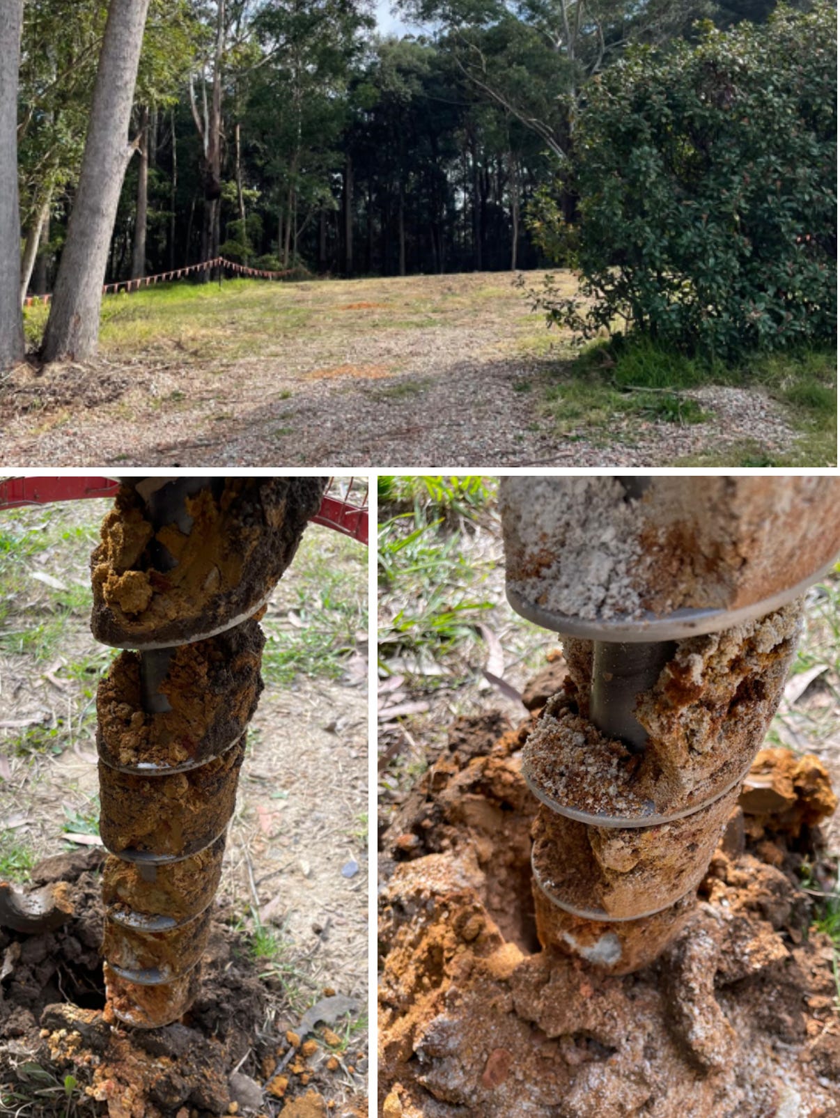
I didn’t see this activity in progress, but the filled holes can be seen at the block.
2.6 metres below the surface they found ... sandstone. Of course they did. The house will sit on one of Sydney’s sandstone ridges, as I always assumed, inspiring plans to use sandstone as a feature of the building.
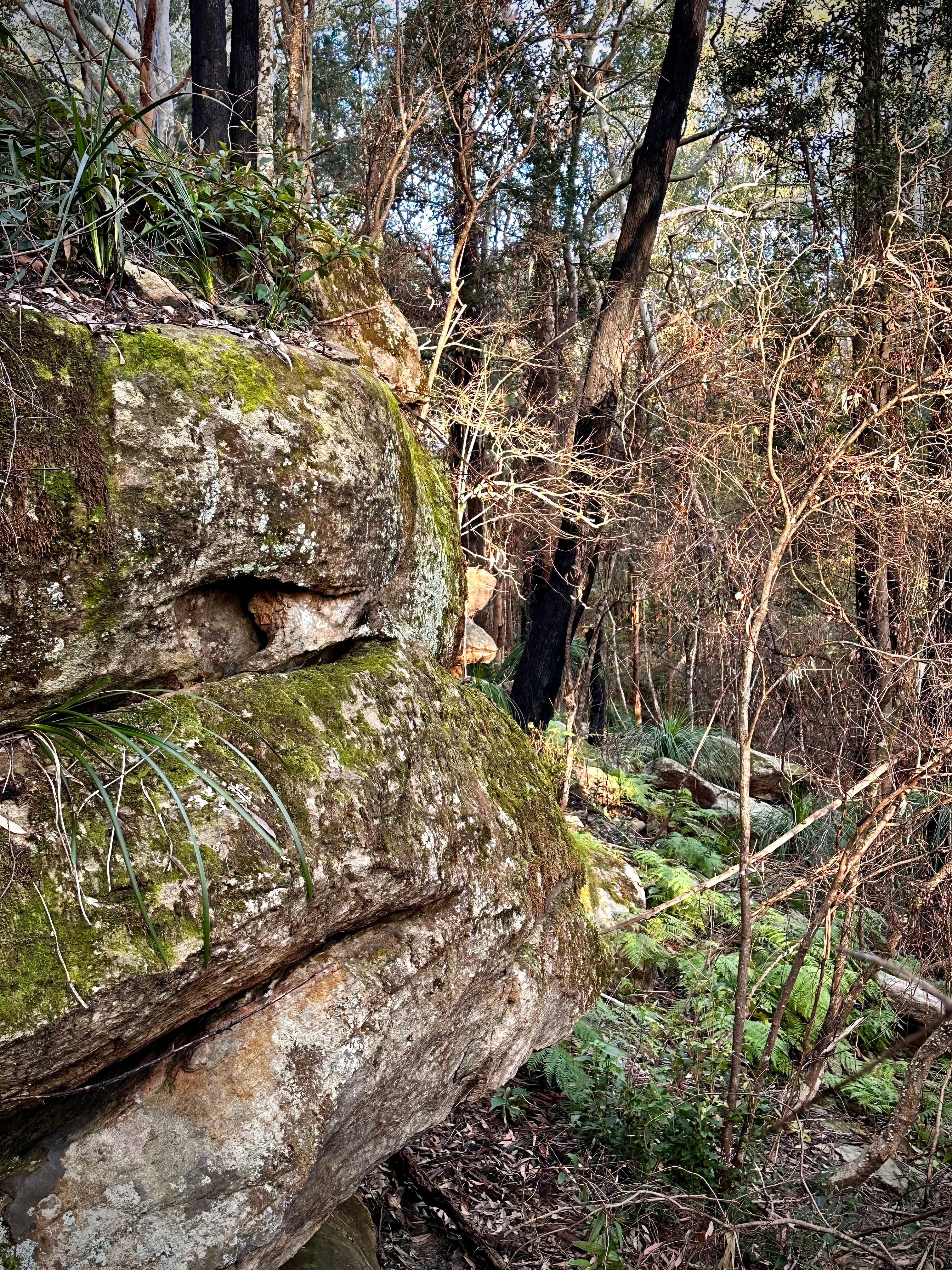
Local sandstone
All those other reports and assessments?
We need a Stormwater Plan which calculates the pits and downpipes, and how these will drain into the street. The BASIX will tell us the required size of the rainwater tank/s. The Stormwater Plan will also include and Erosion and Sediment Control Plan that outlines the requirements during construction: location of fencing, amenities, stockpiles, washdown bay, etc.
We’ll need a Waste Management Plan for handling the building site waste during construction, as well as the ongoing waste generated by the house – the Council wants to know where the bins will be located and their path to the kerb. Who knew?
And specific to this particular site: since there’s no existing kerbing and guttering on our side of the street, we have to consider the driveway design, and prepare a set of plans, with levels, to Council’s standard for driveways. We may need a Traffic Report, a document to show the potential new kerb and footpath. We have a few queries to Council about what’ s needed there.
Watch this space as all these reports arrive. What will be revealed about the site? Council and other regulatory requirements? Limitations or recommendations about design, materials?
We’re getting to pointy end.

[Image]